Two rivers, two oceans
The Central African Plateau and the Luangwa Valley are drained by two great river systems that erodes sediments to opposite sides of the continent. The Chambeshi-Luapula flows north and west, into Lake Mweru and onward through the Congo system to the Atlantic. The Luangwa flows the other way, feeding the Zambezi and reaching the Indian Ocean. Standing on the plateau, you are on a watershed between two oceans.
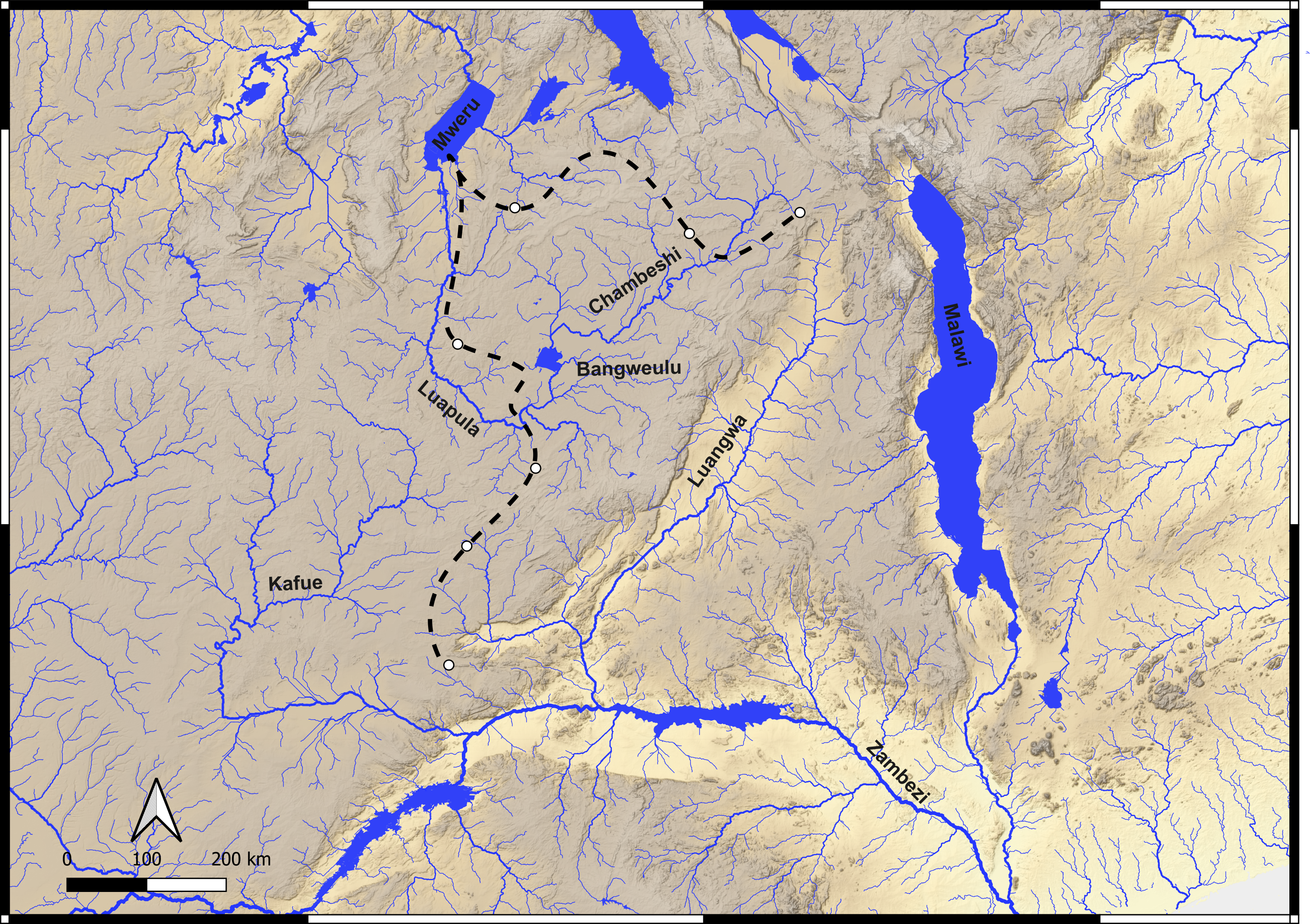
Our hypothesis is that these two river systems, and the broad valleys they carve, may have acted as natural corridors for the movement of mammals, including hominins, in the deep past. The idea is supported by the landscape itself: the thriving Miombo woodland that covers much of the region combines abundant water with large expanses of gentle, relatively flat terrain, the kind of country that is easy to cross.
Reading the landscape’s past
Landscape evolution modelling suggests that, over the last four million years, erosion and tectonic movement have reshaped the topography of this region, changing where rivers run, how steeply they flow, and the environments along their banks. Our reconstructions hint that the Chambeshi once joined the Kafue in a single long valley, before being captured, its flow diverted, by the Luapula system in the Bangweulu Wetlands, a place of exceptionally flat ground and slow, spreading water. A corridor that was open in one configuration of the landscape may have closed in another. Working out when these switches happened is what the fieldwork is for.
What we collect, and why it matters
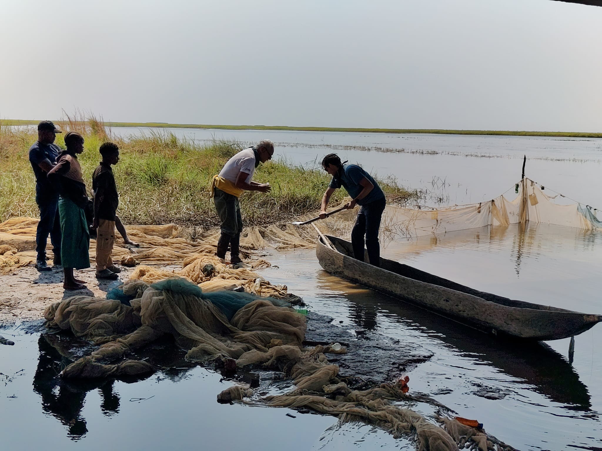
Sand carries a fingerprint. Sieved and separated into its individual minerals, river sand reveals the erosional signature of each catchment. One mineral, zircon, can be dated by the U-Th-Pb method. Each grain effectively carries the age of the rock it eroded from. By tracing that signal from the modern rivers down into the places where sediment accumulates (the “sink”), and by reading it in sediment cores, we can reconstruct how the source-to-sink system worked in the past. That gives landscape modelling the hard constraints it needs to show how river networks reorganised through time.
Mud records the climate. At the intersection of water and rock, weathering produces clay minerals, and those clays are sensitive recorders of seasonal climate. A dense set of mud samples spanning the plateau and the rift valley can trace the climatic boundaries that shape today’s vegetation, and by extension the environments that would have been available to animals and early humans.
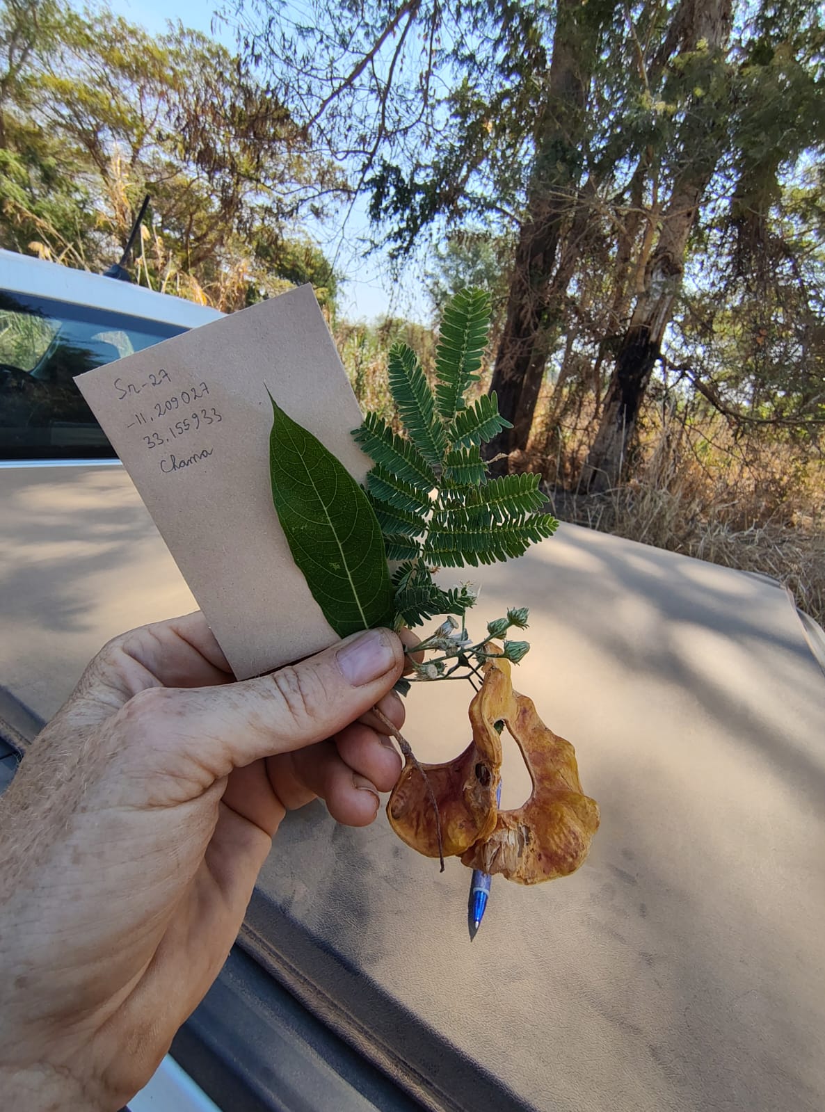
Plants and pollens. Alongside the sediment work, the team samples modern vegetation, grasses and the leaves of trees and shrubs, to characterise the isotopic signal that ends up locked in soils. This builds a present-day reference for how that signal is distributed across the plateau and the valley. Paired with it is the collection of palaeosol (ancient soil) samples for pollen analysis, a window into past vegetation and, through it, past shifts in climate and in the environments that would have been favoured by hominins.
Field diary
Route so far: Lusaka → Kabwe → Serenje → Lake Bangweulu → Mansa → Mambilima Falls → Lake Mweru → Mporokoso → Kasama → Isoka → (next) the Luangwa Valley
The expedition set out on 4 August. The first leg took us through Kabwe and Serenje towards Lake Bangweulu. The plateau rivers here are flat, swampy, and producing remarkably little sand. Crossing the Luapula south of the wetlands, where it is still flowing south, we could gather only mud. It was on the beaches of Lake Bangweulu, its basin controlled by faulting, that we finally found clean white quartz sand.
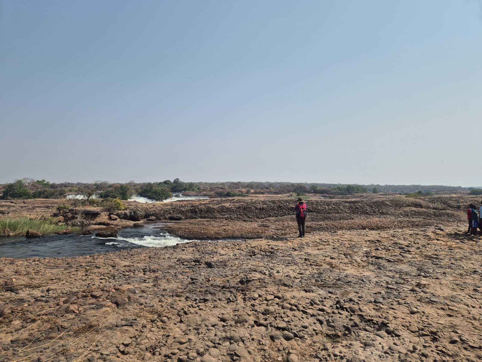
After a stop in Mansa we followed the Luapula valley, tracing the river back northward. At the Mambilima Falls the river tumbles over a knickpoint, a step in its long profile, cutting through ancient, extremely well-cemented conglomerates. Beyond it we reached Lake Mweru, where the valley opens out and the Luapula slows once more into a meandering, swampy channel before emptying into the lake.
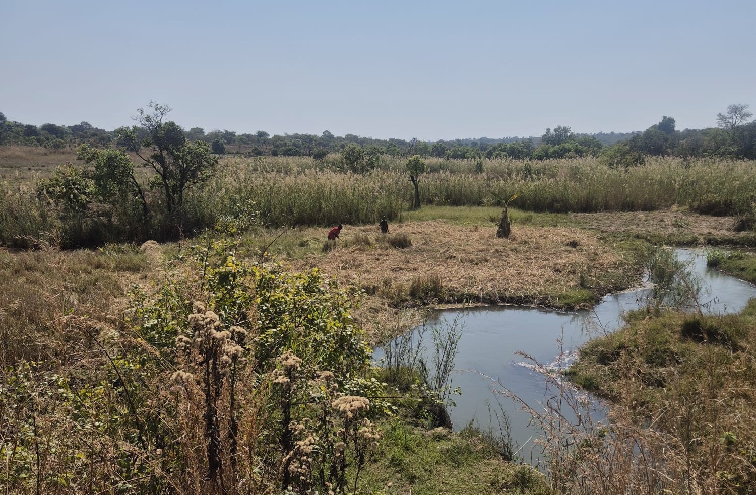
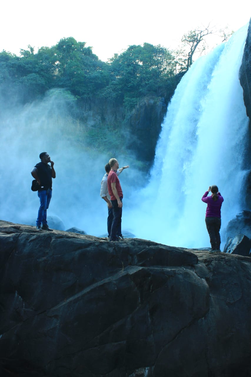
Turning west towards Kasama, we met a succession of waterfalls large and small. Each is an erosional knickpoint, and each could be the product of a lithological contrast or a sign of more recent upheaval, due to the landscape still adjusting to tectonics or to a captured river. The Chishimba Falls, dropping more than twenty metres through Mesoproterozoic sandstone were a remarkable observational spot.
Looking ahead
The expedition is resting in Isoka. Ahead lies the Luangwa, a river that runs through a tectonically controlled valley with steep shoulders and a broad, flat floor. There we expect a change of character: more sand, a hotter climate, and more varied vegetation.
What we have found so far is a water-rich country of placid rivers and soft, open landscapes. This is a favourable place to live and, perhaps, a natural route to travel, which is precisely the possibility PLIODIS set out to test.