Two rivers, two oceans - part two
After resting for a day in Isoka, we continued our sampling.
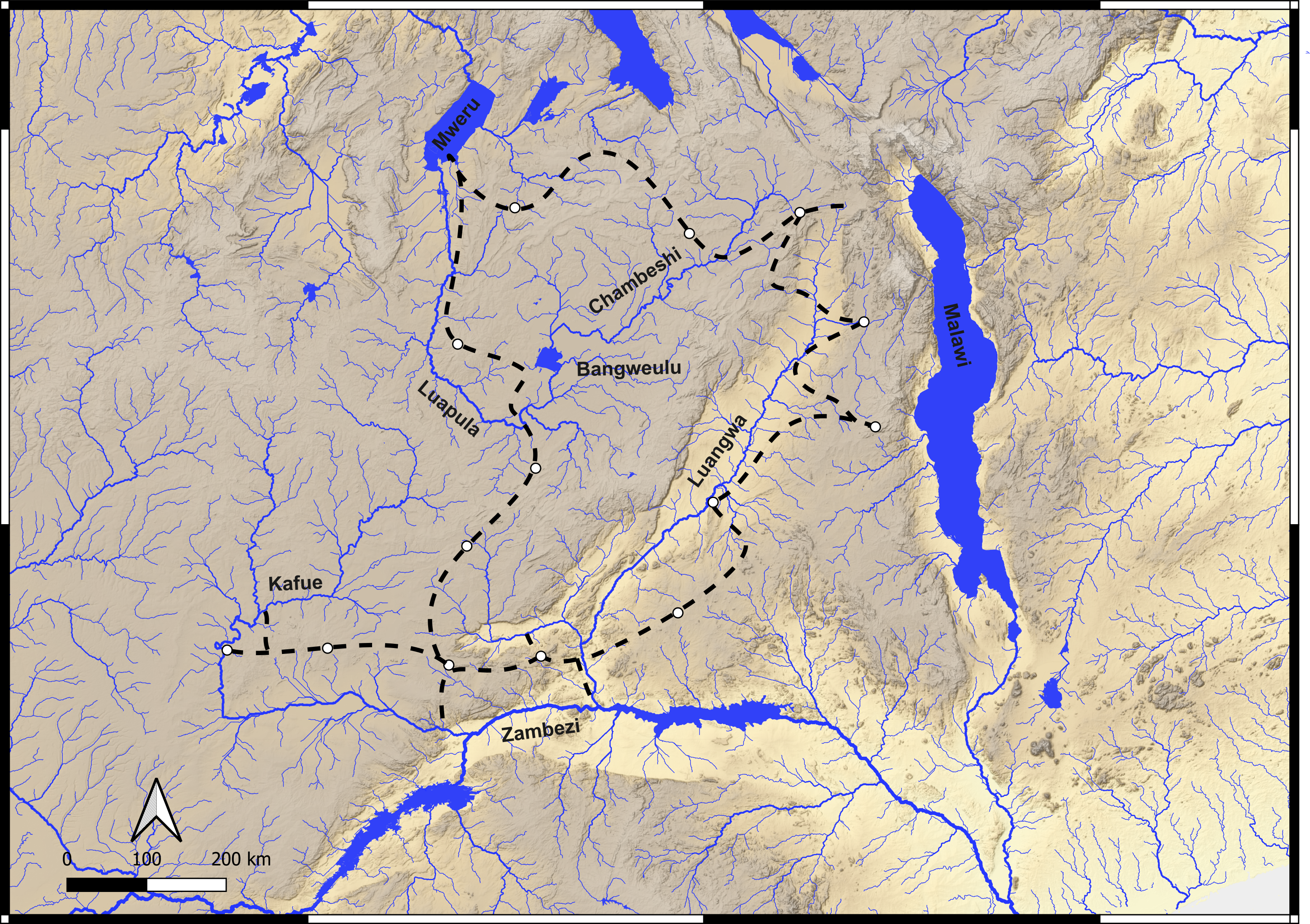
Second section of the route: Isoka → Chama → Lundazi → Mfuwe → Nyimba → Rufunsa → Zambezi confluence → Kafue → Kafue National Park → Lusaka
The life of a river
Following a river along its entire course mirrors a human life. It begins as a small torrent, its water sparse and crystal clear, then grows into a broader channel (and gains a great many crocodiles), matures into a meandering course, and reaches its final stage as placid, sandy shores that plunge at last into another river or an ocean.
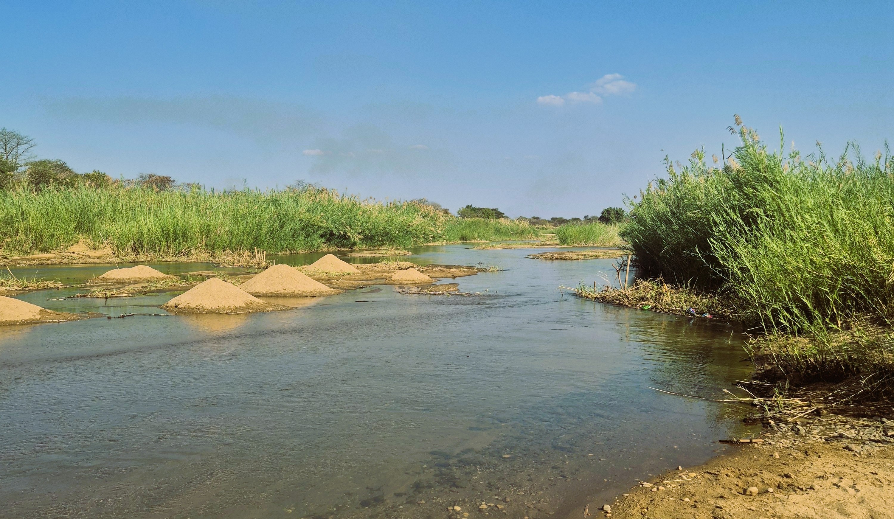
Before entering the Luangwa Valley proper, we reached the uppermost part of the Luangwa catchment, and there, at last, we found sand. A pile of sand. The contrast with the plateau’s sediment system was striking. What controls this difference in sand and mud generation? A debate broke out among us. Is it the tectonically controlled steepness of the valley? The more humid climate of the plateau? Or the presence, in the valley, of the Karoo sedimentary sequence, softer rocks more readily eroded into sand? The team split into rival parties… but we remain friends.
The Luangwa Valley
Then we faced the same problem as any early hominin would have: how to cross the Luangwa River? To enter the valley and reach Chama, we were relying on a single bridge, and there was no way to know from a distance whether it was still standing. A local contact told us he had seen it, and the satellite images were reasonably recent, but others advised us to drive all the way back to Lusaka and enter the valley from the south. We could only go and see for ourselves. A long dirt road stretched on into a national park, and among the tracks of elephants we descended the flanks of the valley. As we neared the crossing, morale swung between anxiety and hope. And then, finally, the bridge was there. We could enter the Luangwa!
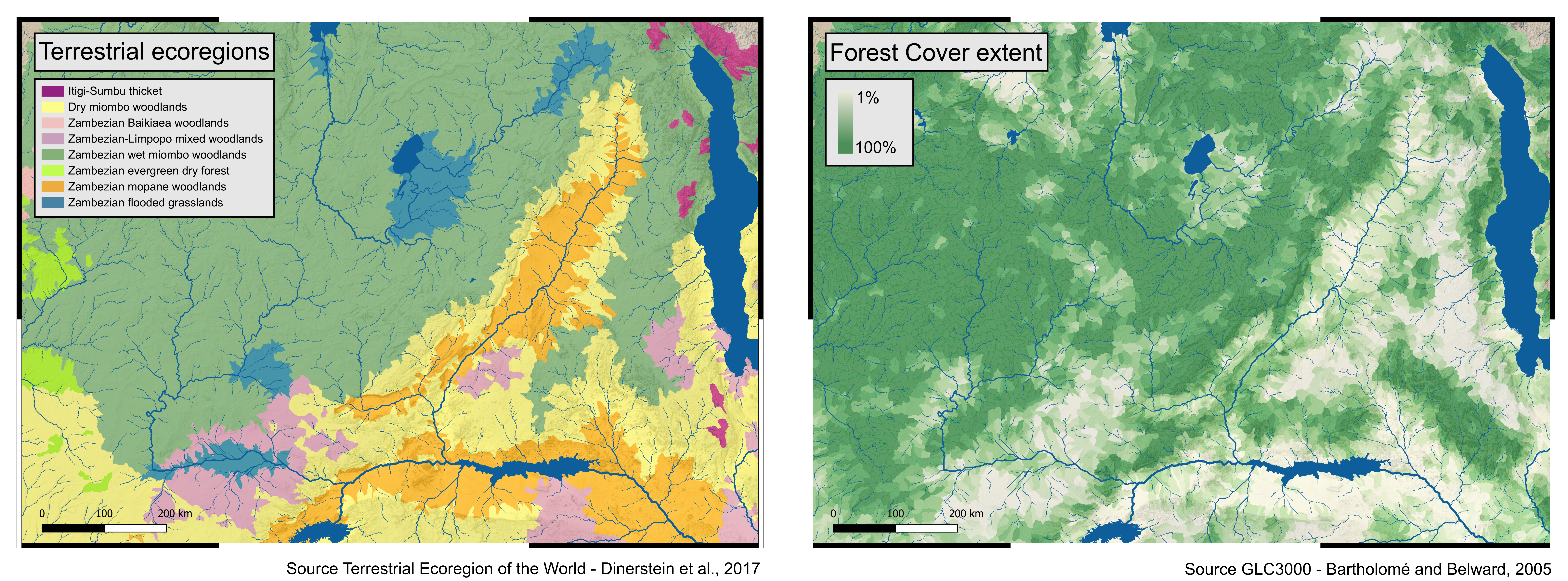
A change of landscape, and a change of environment! We left the plateau behind, with its characteristic evergreen miombo trees (Brachystegia, Julbernardia and Isoberlinia) and the swampy dambos of the Bangweulu Wetlands. The Luangwa welcomed us instead with the sparser, less densely forested mopane woodland (Colophospermum mopane). Peering from the car through this thinner vegetation, and now crossing major national parks, we caught our first sight of baboons, warthogs, impalas and elephants. The drier climate also favoured a tree we had not yet seen: the baobab (Adansonia digitata).
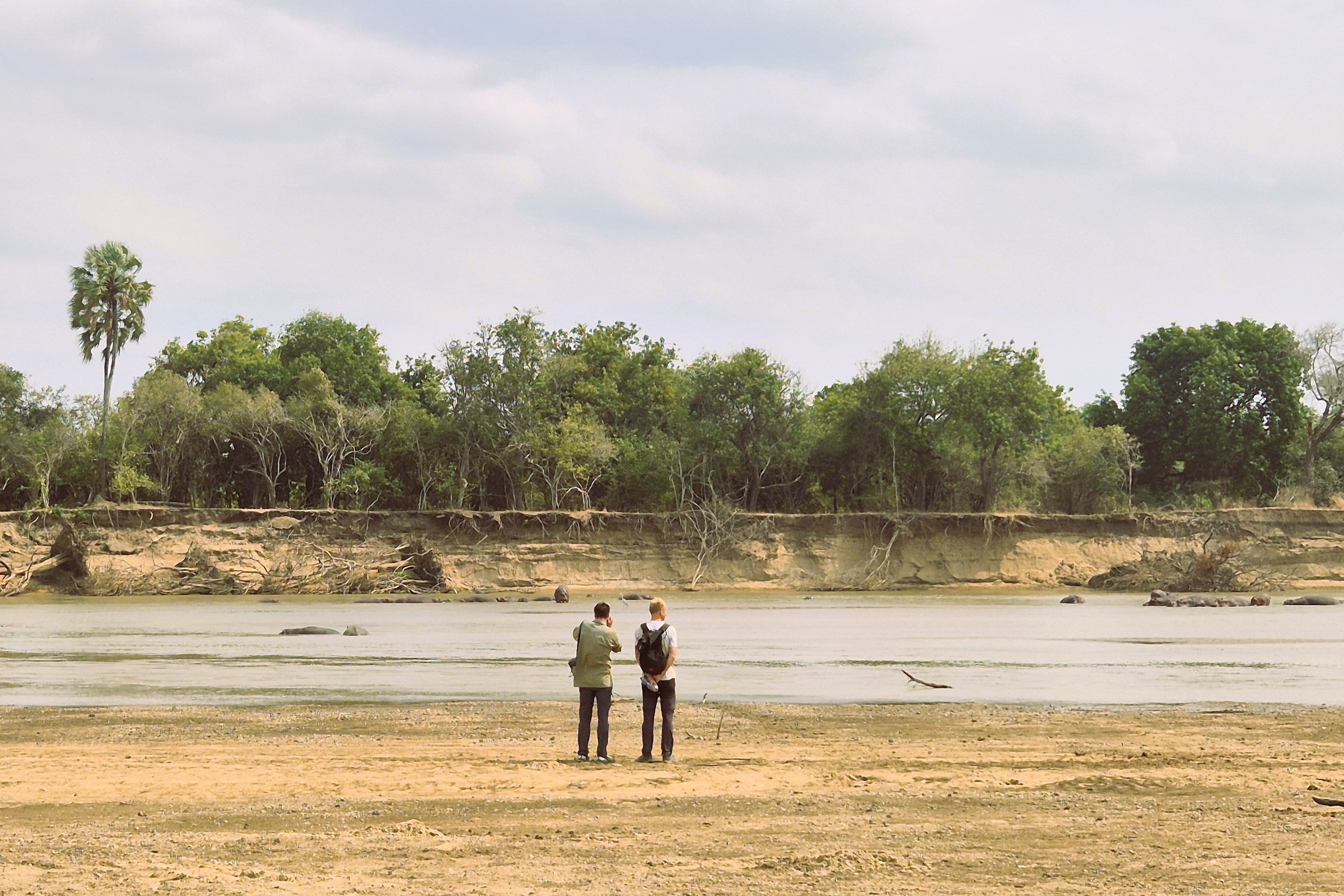
Over the next couple of days, we descended twice more to the river, over difficult terrain, through river crossings and national parks alive with an astonishing variety of animals. The main towns, Chama and Lundazi, sit on the upper flanks of the valley, on the metamorphic rocks of the Irumide Belt. The Luangwa itself runs along the opposite side of the valley, carving and eroding the Karoo sedimentary sequence. Along its flat central reach, the river shows some extraordinary meanders, some still evolving, others long abandoned.
Mfuwe and Steve
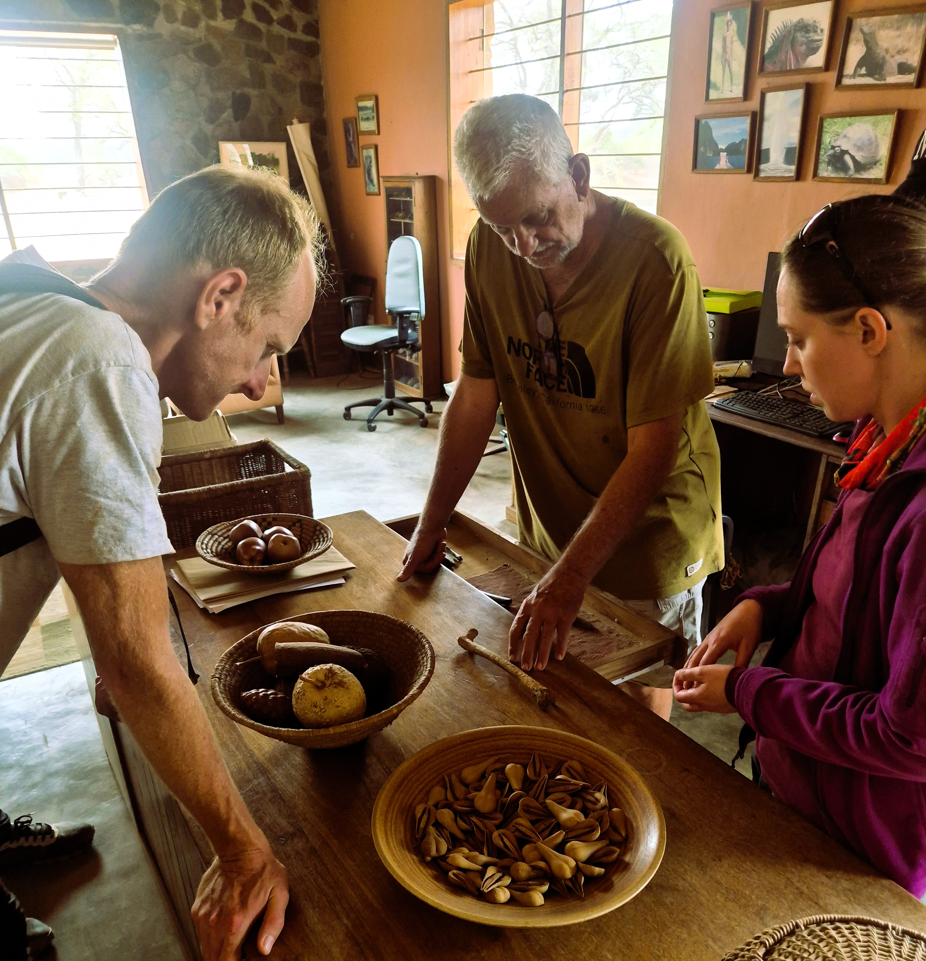
Following the Luangwa downstream, we knew we had to pay a visit to Steve Tolan, who runs the Chipembele Wildlife Education Trust (chipembele.org) and is searching for the first early-hominin fossil in the Luangwa Valley. Steve welcomed us and showed us his outstanding outreach museum and his fossil finds from the valley (not yet of our ancestors). We talked about hominins and the remarkable environment around Mfuwe, though for far too short a time before it was already time to climb back into the car.
Leaving the Luangwa, stretching to the Zambezi
Our route led us to the southernmost part of the Luangwa catchment, reaching down towards the Zambia-Mozambique-Zimbabwe triple junction. Immense sandbar deposits and gentle hills carried us to the confluence of the Luangwa with the Zambezi. After so many days in the valley, it felt like parting from an old friend, and being presented to a regional authority: the mighty Zambezi.
The Kafue adventure
When planning a trip like this, the first advice you hear is to set aside a couple of days for unplanned adventures: the car, the roads, the inevitable snags. Zambia’s roads were unusually kind to us, and we found ourselves with days to spare. Another scientist might have taken some time off. But geologists are a different breed, and we decided instead to drive west, to meet the last of the region’s great rivers: the Kafue.
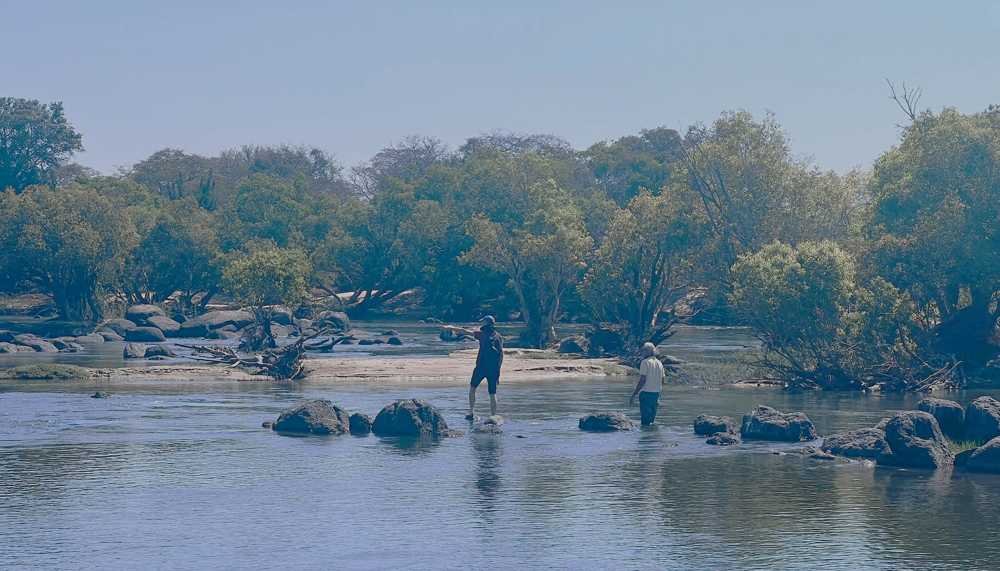
The Kafue sampling really completes the plan. To weigh the possibility of a once-joined Kafue-Chambeshi course, we needed the mineralogical fingerprint of the upper Kafue. Like many rivers in the area, the Kafue is now segmented by a dam, the Itezhi-Tezhi, which currently prevents its sediment signature from reaching the Zambezi. So we travelled north-west to find the river’s true signal, and were rewarded with one of the best sampling sites of the whole trip.
Lusaka and the University
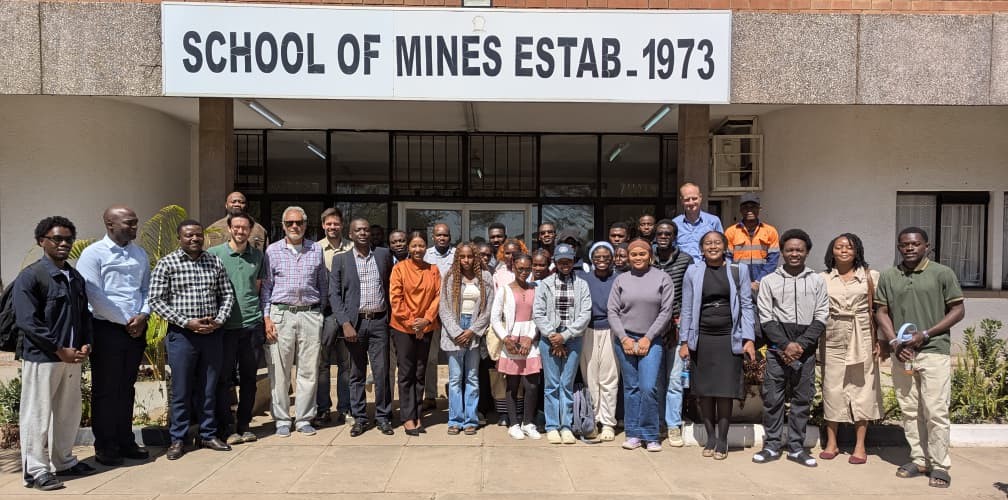
Heading back to the capital on the 17th, the team was satisfied, and tired, after the long loop around Zambia. One task remained: a research seminar at the Zambia School of Mines, where we met Professor Kawawa Banda to share our background and our research plans. The chance to discuss water management, sediment dispersal, geo-thermochronology and hominin migration in one room was the perfect end to an extraordinary trip.
Conclusion
On the trail of hominin migration, our research led us to migrate ourselves, to Zambia, at the meeting point of environmental science, geology, landscape evolution and anthropology. It was exciting to think that our ancestors may have walked the same river sandbars we walked, in search of food and driven on by a changing climate. And, just as it was for us, crossing rivers and swamps was surely their greatest concern. A broken bridge or a river in flood would have changed our path entirely, and one wonders how a hominin would have solved the same puzzle. Maybe… just maybe… PLIODIS will find out.
Numbers
- 14 days
- ~4,500 km driven
- 39 mud samples
- 43 sand samples
- 33 rivers sampled
- 4 major drainages (Luapula-Chambeshi, Luangwa, Zambezi, Kafue)
We would like to thank the University of Zambia for the logistical support of the trip, in the persons of Dr Misheck Chundu and Professor Kawawa Banda; Mr Steve Tolan, for his help and advice in organising the route; and Mr Christopher Mwanza, for driving us so expertly across every kind of terrain.
The watercourses were my guide,
I travelled grateful by their side,
Or through their channel dry;
They led me through the thicket damp,
Through brake and fern the beavers' camp,
Through beds of granite cut my road,
And their resistless friendship showed;
The falling waters led me,
The foodful waters fed me,
And brought me to the lowest land,
Unerring to the ocean sand.
R.W. Emerson